Google Maps Adding Underwater Photos Of World’s Oceans To Street View

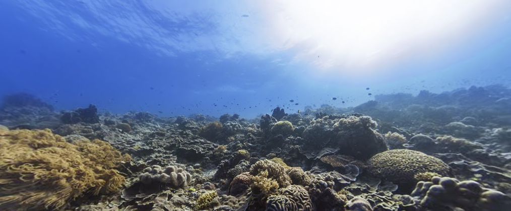
Tubbataha Reefs Natural Park, Philippines (Google Maps)
Nemo might never have been so hard to find, if only his ocean had a good map of the local reefs. Wayward fish with knowledge of technology will be in luck — as will anyone yearning for a view under the sea — as Google Maps is adding 360-degree Street View photos of our oceans’ coral reefs.
Besides helping fish find their way home, the new photos taken by specialized lenses underwater by scuba divers will also aid scientists in their research of marine life around the world.
There are already 400,000 images of reefs off Australia and in the Caribbean, with rotating and panoramic images available online now, and new photos are set to go up this week, including underwater images of the Florida Keys, reports the Associated Press.
Officials said those images of the Keys will help show the progress that’s been made in coral restoration, as well as things that need to be improved on, and help scientists study warming ocean temperatures, pollution and the effect of hurricanes on reefs.
“This allows people who can’t get underwater to understand what we mean by putting up a special preservation area around this particular spot,” Mitchell Tartt, chief of the conservation science division at the National Oceanic and Atmospheric Administration’s Office of National Marine Sanctuaries told the AP.
The cameras are capable of snapping photos of an area up to 20 times larger than what you can take on a normal underwater camera, as well as recording GPS data and stitching the images together in a panoramic view.
So if you can’t take that vacation to go snorkeling that you’ve always wanted, at least you can check out what you’re missing. And say hey to Nemo, of course.
Google ‘street view’ goes undersea to map Florida Keys, reefs [Associated Press]
Want more consumer news? Visit our parent organization, Consumer Reports, for the latest on scams, recalls, and other consumer issues.

